On joint use trails where both all terrain vehicle (ATV) use and snowmobile use are allowed simultaneously, whenever the trails are closed to snowmobile use due to insufficient snow depth, the same trails shall also be closed to all terrain vehicle (ATV) use.
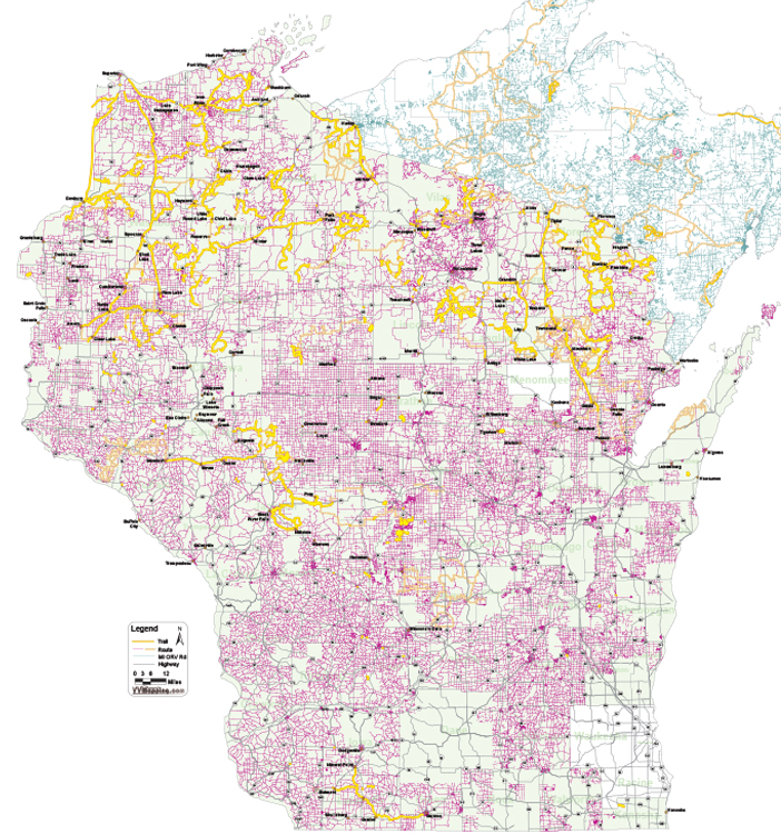
The county sponsors 30 miles of ATV trail and routes.
Parking lots are available in the City of Augusta, the Village of Fairchild on the Buffalo River State Trail, along CTH G and Channey Road, and along Highway 27 north of Augusta.
Clark County trails are linked with this network of Eau Claire County ATV trails and routes, as well as the Buffalo River State Trail connecting in Fairchild.
There is an annual trail closure from March 15 until May 15 to minimize erosion potential on the soft, moist soils. Trail maps are available from the Eau Claire County Parks and Forest Department and the Chippewa Valley Convention & Visitors Bureau. https://www.co.eau-claire.wi.us/our-government/departments-and-facilities/department-directory/parks-forest/recreational-trails/atv-trails